
Drone Survey Company
The whole site, mapped from the air
PVR Engineering Surveyors is a drone survey company that maps construction, mining and development sites from the air, tied to ground control so the levels and volumes hold up.
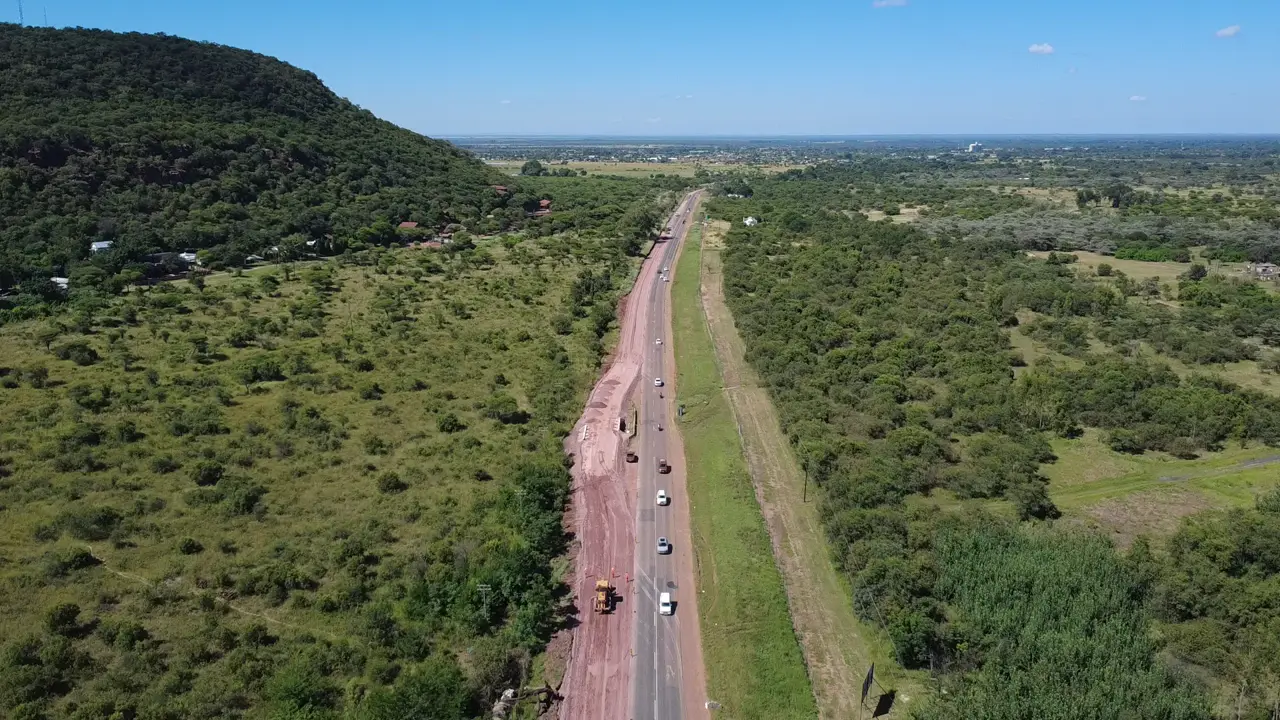
Drone surveys done right
A drone can photograph a site in an afternoon. Turning those photos into levels and volumes you can pay a claim on is the hard part. Without proper ground control, a drone model can look perfect and still be out by enough to cost you money.
Our drone survey services start with control. We place and measure ground control points with GNSS, fly the site, and process the images into an orthophoto, a point cloud and a terrain model. Our team is registered with the South African Geomatics Council, and every model is checked against surveyed points before it leaves our office.
Drone survey services we provide
- Aerial mapping and orthophotos
- Stockpile volume surveys
- Earthworks progress and cut-and-fill volumes
- Drone topographic surveys
- Contour mapping
- Digital terrain and surface models
- Road and corridor mapping
- Construction progress monitoring
How a drone survey works on your project
We start by agreeing the area, the accuracy you need and the deliverables with your engineer. On site we set out and measure ground control points, then fly the site on a planned route. Back in the office we process the images, check the model against the control and hand over the data in the formats your team uses. Where drone data alone won't meet the tolerance, such as under trees or for kerbs and inverts, we fill in with GNSS and total station work.
Need levels for a new design? See our topographical survey company page. For pit and stockpile volumes on a working mine, see our mining surveying services.
The Project Precision Process
Getting a survey you can trust takes three steps.
Assess
Tell us about the project. We read your brief and drawings so we know what to capture, how accurate it must be and when you need it.
Execute
Our registered team sets ground control, flies the site and checks the model against surveyed points.
Deliver
You get clear survey data and reports on the date we agreed, ready for your engineers, your claims and your planning.
Why contractors and mines use PVR for drone surveys
Our founder spent years on the contractor's side, receiving survey work that wasn't good enough. He started PVR in 2021 to do it properly. For your site, that means:
- Every flight tied to surveyed ground control
- Models checked against surveyed points before they leave our office
- Registered with the South African Geomatics Council
- Drone, GNSS and total station work from one team
- Stockpile and earthworks volumes reconciled for your monthly claims
- Based in Midrand, working across South Africa
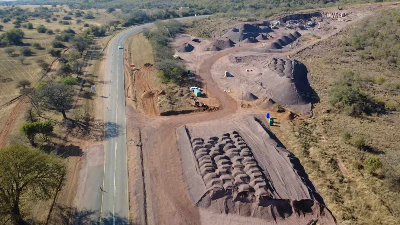
Recent drone survey work
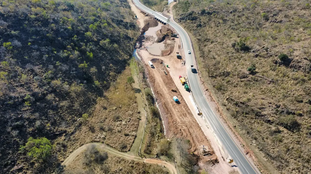
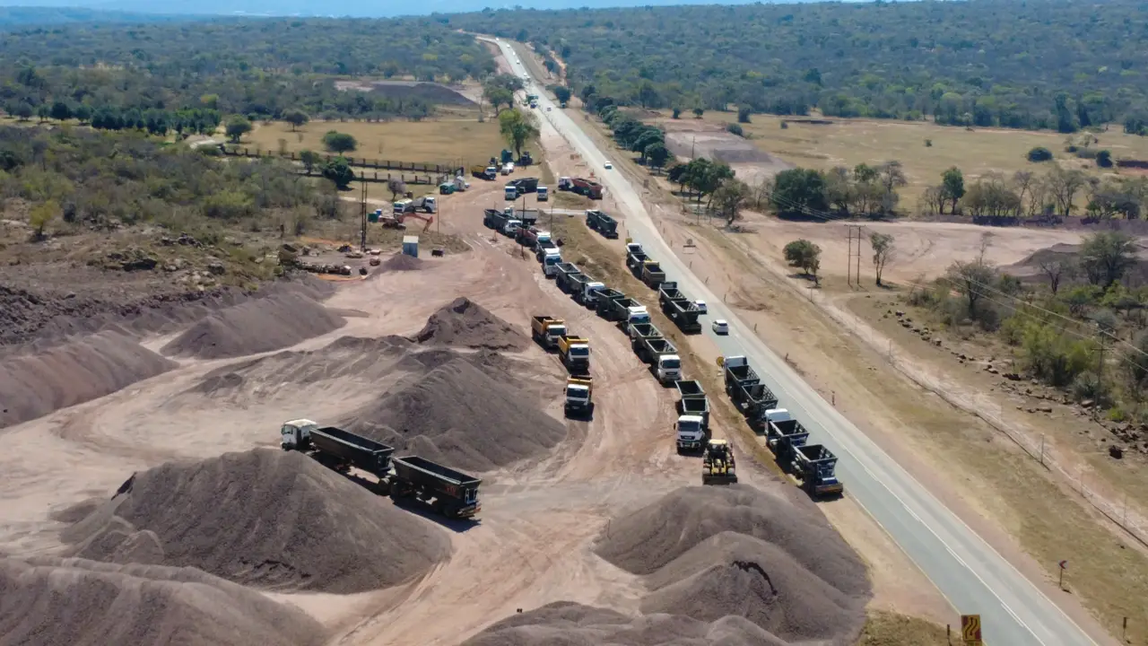
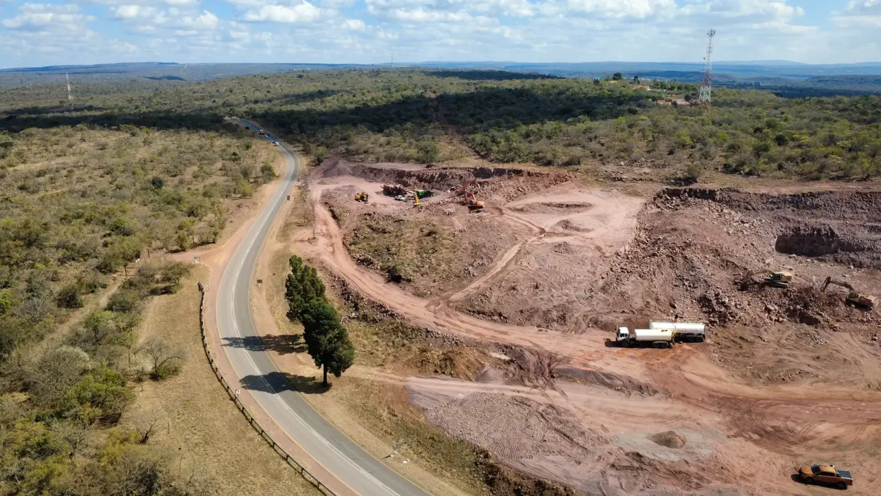
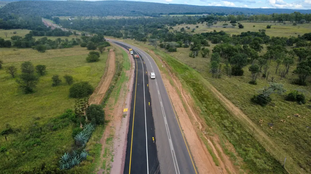
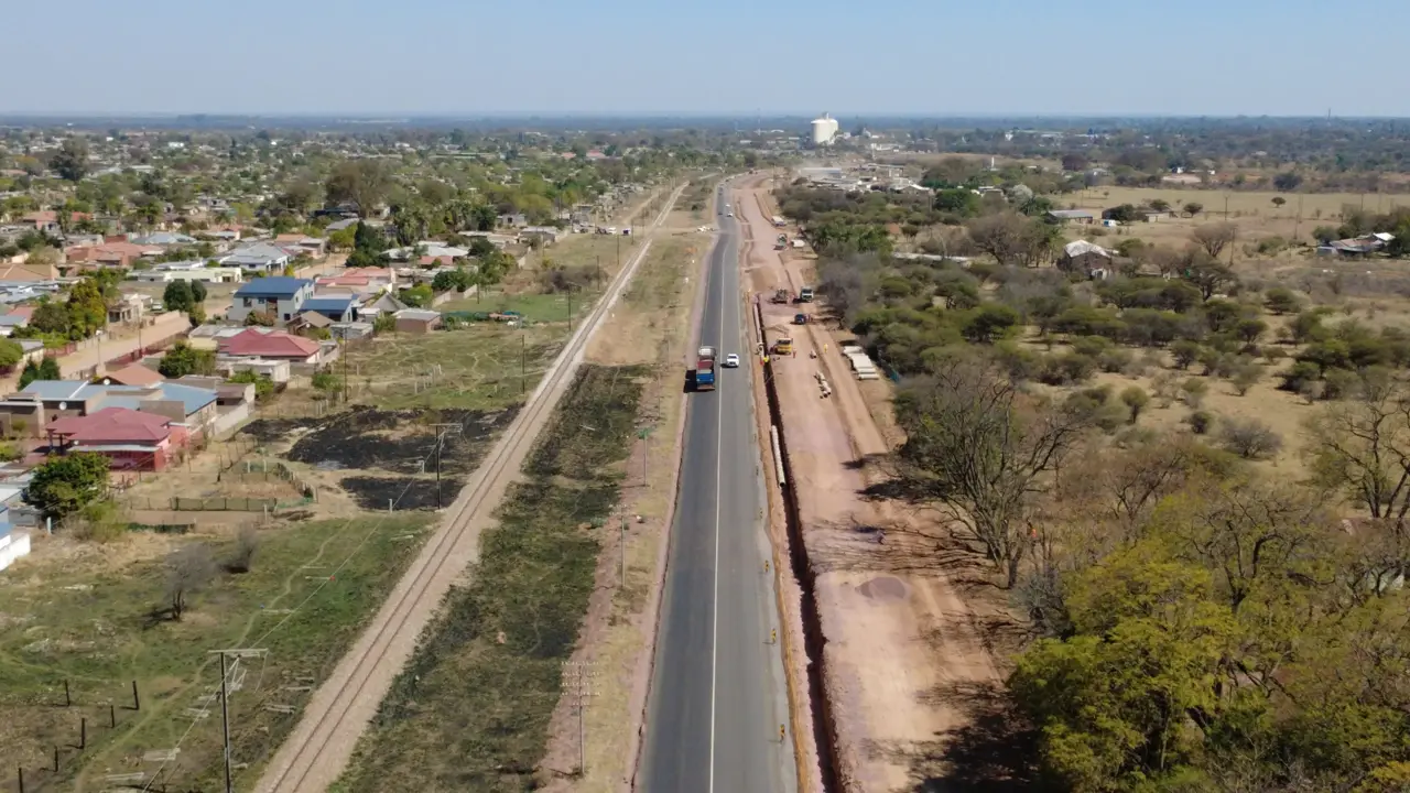
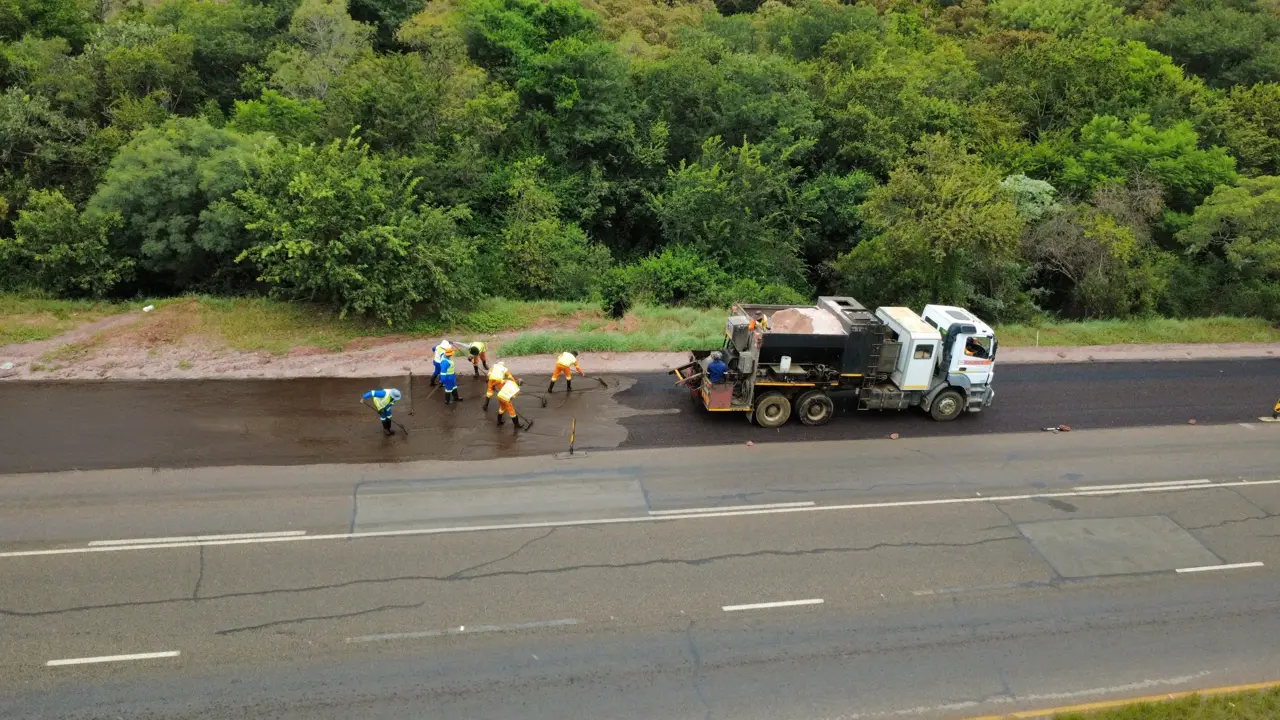
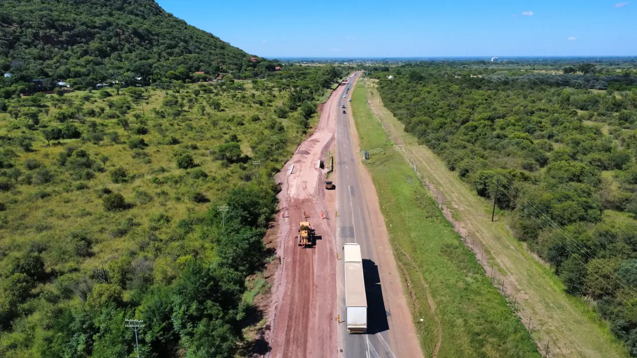
Captured by our team on live road, bridge and earthworks projects in 2026.
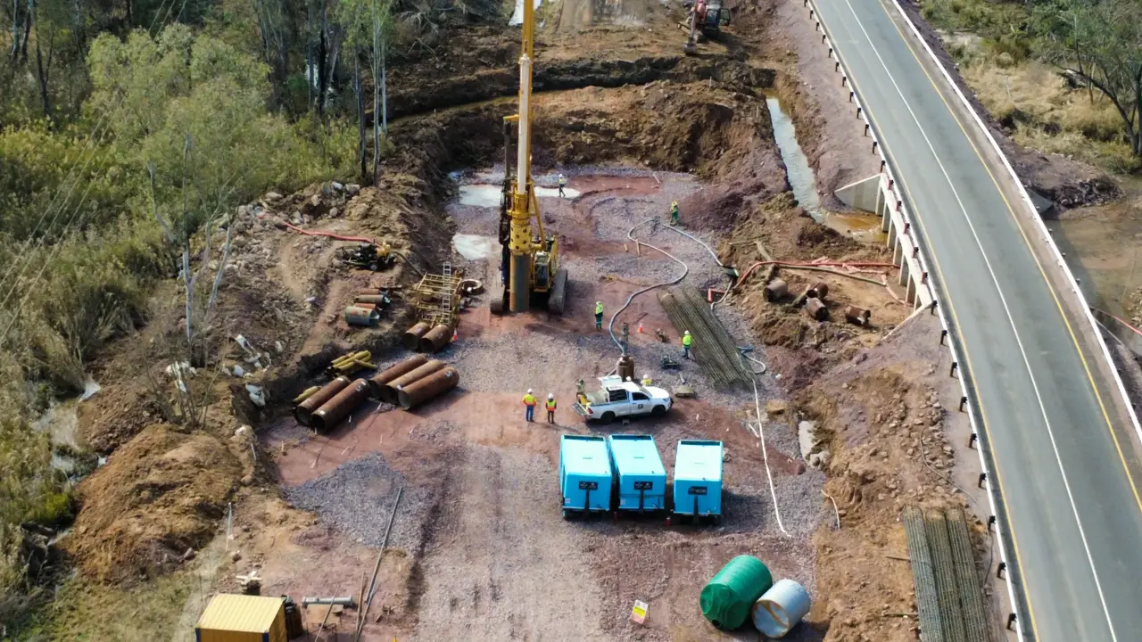
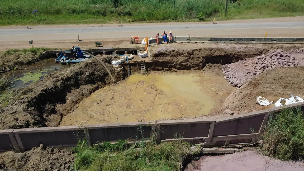
FAQs
How accurate is a drone survey?
It depends on the ground control, the flying height and the surface. We tie every flight to surveyed control points, check the model against them and tell you the accuracy achieved. Where a job needs tighter tolerances, we add GNSS or total station work.
What do I get from a drone survey?
Usually an orthophoto (a scaled aerial map of the site), a point cloud, a terrain model, contours and volume reports, in the CAD and GIS formats your team uses.
Can you measure stockpile volumes with a drone?
Yes. A drone captures the whole surface of every stockpile without anyone climbing on them. We report the volume of each stockpile and can repeat the flight monthly for claims or reconciliations.
Is a drone survey better than a ground survey?
For large, open or hard-to-reach areas it is faster and captures more detail. Under trees, for buried services or for hard detail such as kerbs and inverts, ground survey is still needed. We do both and use what the job needs.
Can you fly on active construction and mine sites?
Yes. We plan flights around your site's safety rules and work programme, and agree access with your site team before we fly.
How much does a drone survey cost?
It depends on the size of the site, the accuracy needed and the deliverables. Send us the site location and what the survey is for, and we'll quote it.
Ready to get started?
Tell us about your project and we'll quote the survey work. Precise data, checked twice and delivered on the date we agreed.