
Topographical Survey Company
Know your site's levels before design starts
Our topographical survey company maps your site's levels, contours and features so developers and engineers can design with confidence.
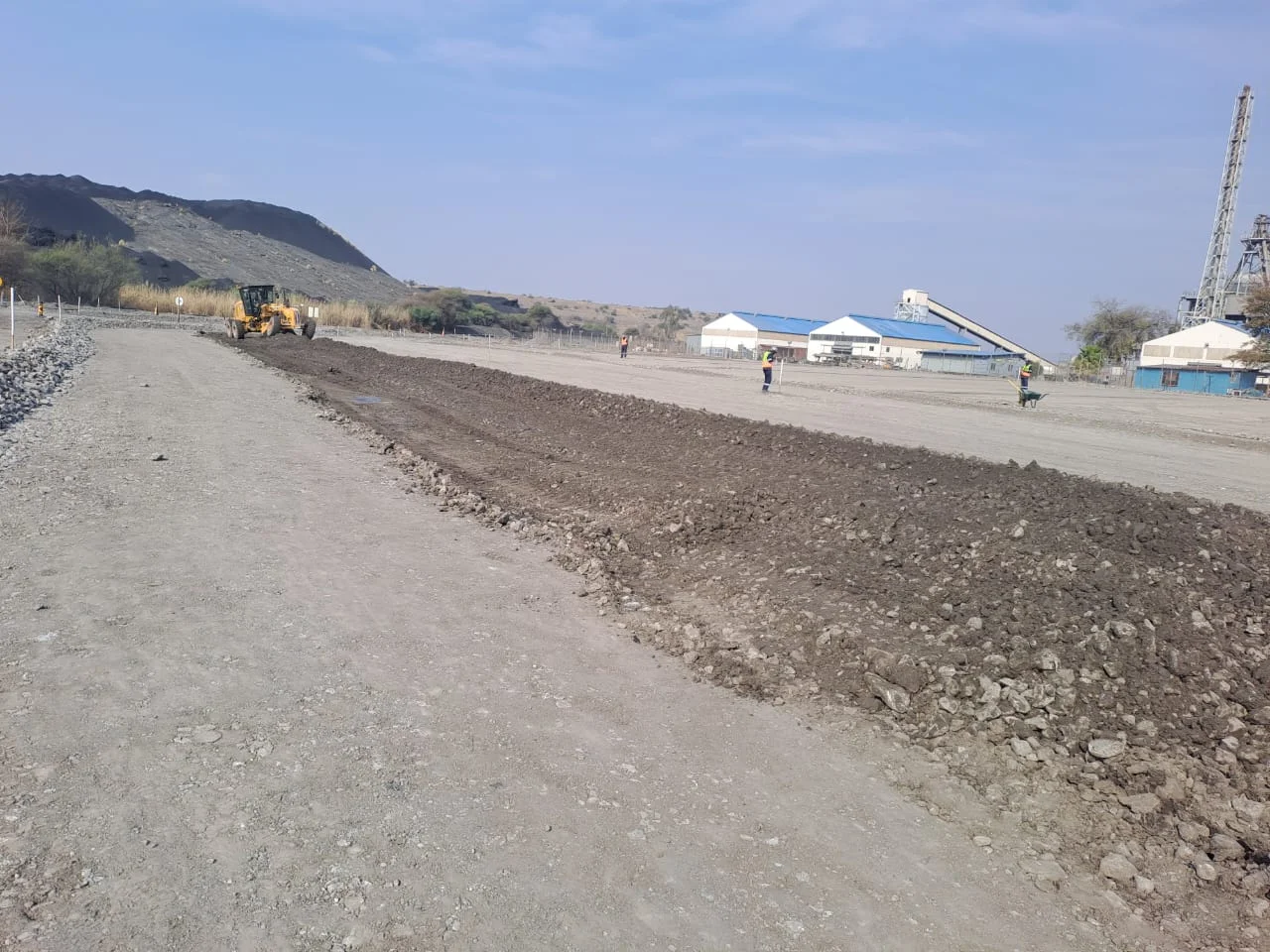
Topographical surveys done right
A design is only as good as the ground it's drawn on. If the levels are wrong, the platform heights, drainage and earthworks quantities are wrong too, and you find out once the plant is on site.
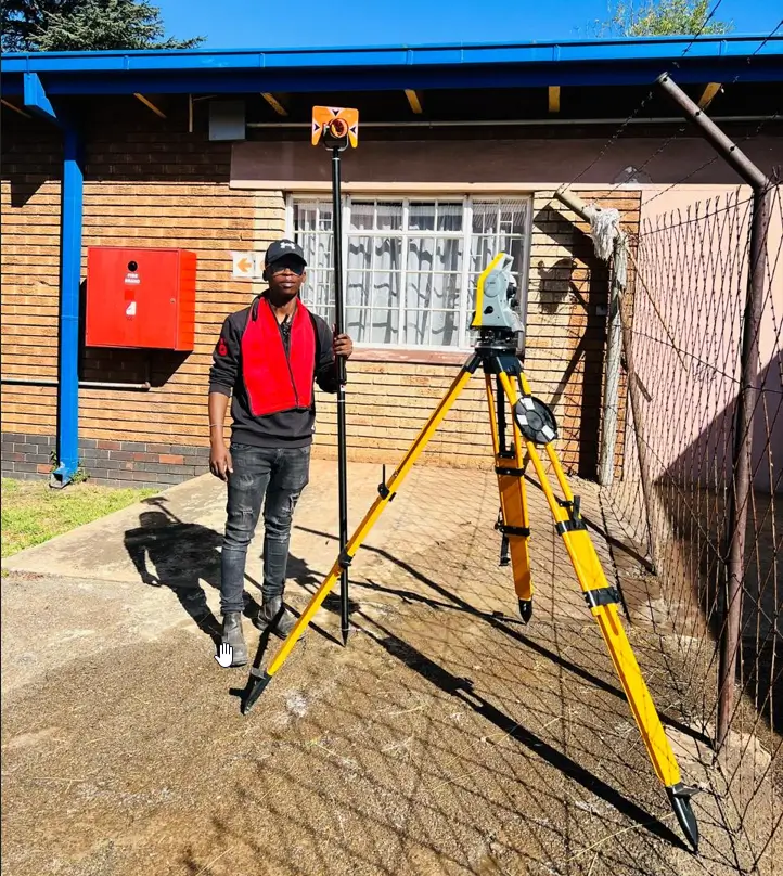
We survey your site with GNSS, total stations and drone mapping, tie it to a proper control network, and deliver a surface your engineers can design on. Our team is registered with the South African Geomatics Council and reads your brief before we start, so we capture what the design needs.
Topographical surveys we provide
- Topographical surveys for site planning and design
- Contour mapping
- Drone topographic surveys
- Earthworks volume calculations
- Site assessment surveys
- Pre-development surveys
- Land development infrastructure surveys
- Digital terrain models
How a topographical survey works on your project
We start by agreeing the extent, the level of detail and the coordinate system with your engineer. On site we set up control, then capture levels and features such as kerbs, buildings, trees and visible services. Larger or hard-to-reach sites are flown with a drone. Back in the office we process and check the data, and hand over a CAD drawing and terrain model ready for design.
We survey for development and engineering work, not property boundaries. For a boundary or title deed question, you need a Professional Land Surveyor.
Want the background first? Read our guide: everything you need to know about topographic surveys.
The Project Precision Process
Getting a survey you can trust takes three steps.
Assess
Tell us about the project. We read your brief and drawings so we know exactly what to capture and when you need it.
Execute
Our registered team surveys on site with calibrated equipment and checks every measurement twice.
Deliver
You get clear survey data and reports on the date we agreed, ready for your engineers, designers and planning submissions.
Why developers and engineers use PVR for topographical surveys
Our founder spent years on the contractor's side, receiving survey work that wasn't good enough. He started PVR in 2021 to do it properly. For your site, that means:
- We agree the detail and coordinate system with your engineer before we start
- Every measurement is checked twice before it leaves our office
- Registered with the South African Geomatics Council
- Drone mapping for large or hard-to-reach sites
- Data delivered in the CAD formats your designers use
- Based in Midrand, working across South Africa
FAQs
What does a topographical survey include?
Levels across the site plus the features on it, such as buildings, kerbs, roads, trees, fences and visible services. You get a CAD drawing with contours and a terrain model your engineers can design on.
When do I need a topographical survey?
Before design starts. Engineers and architects need accurate levels to design platforms, roads, drainage and earthworks, and a topographical survey is often required for planning submissions.
Do you use drones for topographical surveys?
Yes, on larger or hard-to-reach sites. Drone mapping captures the whole surface quickly, and we tie it to ground control so the levels hold up.
What formats do you deliver?
CAD drawings, contour plans, point files and terrain models in the formats your design team uses. Tell us what you need when you request a quote.
Do you do boundary surveys for homeowners?
No. We survey for development and engineering work. For property boundaries, title deeds or buying and selling a home, you need a Professional Land Surveyor, and we're happy to point you to one.
How much does a topographical survey cost?
It depends on the size of the site, the level of detail and access. Send us the site location and what the survey is for, and we'll quote it.
Ready to get started?
Tell us about your project and we'll quote the survey work. Precise data, checked twice and delivered on the date we agreed.